 |
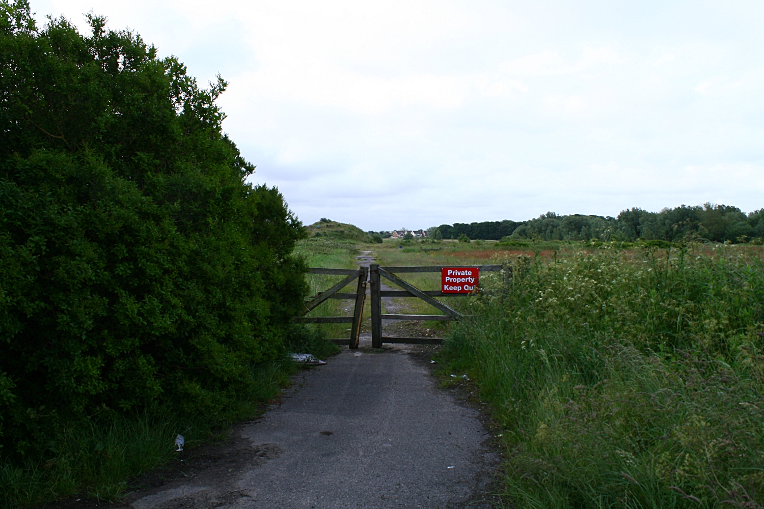
| This is the road that comes straight off the Queensway junction. This lane (before here) hooks to the left and goes to Easterleigh. This lane used to go to a disused barn next to a disused bungalow where a murder took place. (Another link)The house was bulldozed and the pile of rocks and dirt is effectively the remains of a murder scene. This is the place I took the panorama. I think the land may be owned by a local builder (Kensington). The houses in the distance are the edge of Cypress point. |
 |
| Looking back towards Queensway The road lights are the lights that are on Queensway. This was taken at the bottom of the mound. |
| This is a 360 from besides the bush at the top of the mound in the previous photo. Easterliegh Animal sanctuary is on the left side of the bush. The junction at Kilnhouse lane is on the very far right of the panoramic. This looks good on a three screen rig. |
The second panorama of the day is taken from the inner side of Queensway. There is a triangle of heavily overgrown land next to the industrial estate which has got planning permission.
 |
| The path that extend through the picture goes across the fields and joins Queensway at the far end. The airport is facing us. The industrial estate is right in the centre. The path to the left is the reverse of the path that heads towards the tree and heads towards Queensway. If you carry on you cross Queensway and meet the road immediately above. |
This is an extract from the Blackpool Evening Gazette on Friday 22nd of June 2012
A CONTROVERSIAL new housing development on the outskirts of St Annes has been given the go-ahead.
Kensington Developments has fought
for years to win planning permission to build 1,150 homes on land off
Queensway - and today a Government planning inspector and the secretary
of state have finally given them the green-light.
The plans have
been the subject of two planning inquiries after Fylde Council rejected
the proposal - and dozens of local residents came out in fierce
opposition to the scheme.
Plans for the M55 link road, which will
connect Lytham and St Annes with the motorway, are closely tied to the
development and today’s decision means that project will also go ahead.
 Mixed views over major homes plan
 Published on Wednesday 12 December 2007 15:11
RESIDENTS have had their first look at plans for a multi-million pound housing estate set to transform rural land near St Annes.
The scheme, revealed in Tuesday's
Gazette, would see Kensington Developments transform land off Queensway
by building 1,150 homes over a 10-year period.
The
proposed site, on the border of St Annes and Blackpool, will see
environmentally friendly homes built at a rate of 175 a year, a primary
school, an 86-acre park and a 50-acre deer park. The development will
include 259 affordable homes.
Kensington will
spend 20m completing the long-awaited M55 Heyhouses link road,
constructing a Heyhouses Lane bypass and building a new roundabout at
the junction of Queensway and Kilnhouse Lane.
Robin Howe, 61, who lives on Heyhouses Lane, believes the scheme is a "golden chance".
He said: "I think it is a fantastic opportunity for us to move forward.
"One of the massive benefits will be to turn Heyhouses Lane back into a road instead of a motorway."
Mr Howe's wife Debbie, 46, believes more properties are desperately needed.
She said: "People are screaming out for them because they have nowhere to live.
"Something like this will take the town on because it is stagnating now."
However, other residents fear the development will add to already hectic traffic in the Fylde town.
Palmira Stafford, 46, who lives in St Annes Road East, said: "I am concerned there is so much housing in such a small space.
"I have worries about the access roads coming into the borough. Our road is really busy at certain times anyway."
Derek Unsworth, 74, of Eldon Court, doesn't believe a major housing development should be built so close to Blackpool Airport.
He
said: "I am dead against it. They will be sending jumbo jets down there
soon and I believe it would be a big mistake to build anything other
than industrial units there."
Peter Liversidge, deputy managing director of Kensington, was on hand to talk to people about the plans.
He said: "We are very pleased with the public's reaction and interest in the scheme.
"Most people say the link road is a much-needed facility in the area. A residential development is the only way to do that.
"People have been particularly worried about the impact on wildlife but we will have a park alongside a wetland habitat."
A 50 Acre Deer Park - What!!
Make your own minds up.